
Project description
Scope:
Primary and secondary irrigation and drainage networks design of area II in the Serres plain.
Description:
This project is part of the reallocation plan for the plain. Therefore the existing irrigation system is fully redesigned, taking into account the optimal utilisation of the available water resources.
The works included:
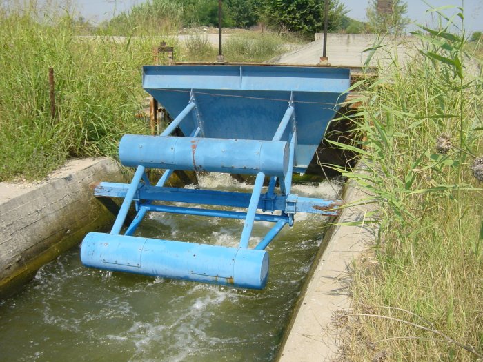
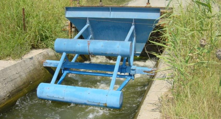
- The designed network covers an area of 160.000.000 m2.
- It is consisted of 9 irrigation zones, which are irrigated by pumping stations. Kerkini lake is the main supply reservoir providing water to all the irrigation zones through the main delivery canal.
- Downstream Control is used.
- The total length of the canals and ditches design (only primary and secondary network) is 600 km.
- All works are constructed based on the unfavourable geotechnical and geological conditions at the area, as it was concluded in the undertaken geotechnical investigation.
Services: Design
Design Stage: Final Design, Health & Safety Plans, Procurement, Tender Documents
Expertise: Geographical Information Systems, Geotechnical, Health & Safety Plans, Hydrology, Irrigation, Procurement, Project Management, Structural, Surveying, Tender Documents
Country: Greece
Region: Serres Prefecture
Client: Hellenic Ministry of Agriculture
Services provided:
- detailed final design of the Irrigation System
- structural design
- surveying and geotechnical investigations
- tender documents
- health & safety plans
Implementation:
The project was carried out using modern design IT facilities such as road design applications, CAD and GIS. Customised software was developed to obtain all longitudinal sections and cross-sections of the ground. An integrated three dimensional digital terrain model was prepared to use for the design of all canals and ditches. All necessary information for the hydraulic design and the bill of quantities for the landscaping were calculated based on the digital terrain model. As a result 40 plan layouts at a 1:5000 scale and more than 600 longitudinal sections were generated, followed by the structural design for a multitude of related works, like gates, control valves, pumping stations, etc.
Services current status: Completed
Construction progress: Partially constructed